Use Cases
Built for the industries that build the world
If you own, insure, operate, or depend on physical infrastructure, Phyll works for you.
Infrastructure & Utilities
Know the state of every asset you own.
Your crews already drive the network every day. Phyll turns that existing drive-time footage into a continuously updated condition record for every sign, guardrail, drainage point, and pole — so degradation shows up in your queue before it shows up as a failure.
- See current asset condition without scheduling a survey
- Get flagged when a sign, guardrail, or drain changes state
- Prioritise crews by real condition, not complaint volume
- Build the historical record regulators and insurers ask for
Who this is for
Roads authorities, utilities, fiber operators, toll operators
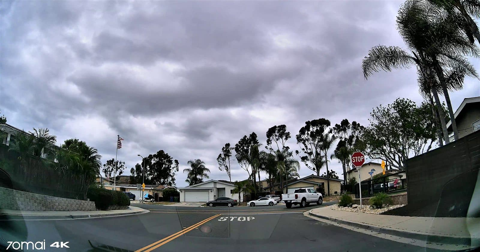
Pilot with a utility/fiber operator across shared right-of-way corridor.
Upload or connect footage. Get map outputs, detections, and change reports within days.
Run a PilotInsurance
Move from static risk to real-time risk.
You price risk off surveys that are months old the day they land. Phyll gives you current, evidenced asset condition — graded, dated, photographed — for the sites you underwrite, and keeps it updated between renewals.
- Underwrite on current condition, not last year's survey
- See exposures with photo evidence before binding
- Set remediation requirements — and verify they happened
- Watch portfolio exposure move between renewals
Who this is for
Underwriters, brokers, MGAs, risk engineers, Lloyd's syndicates
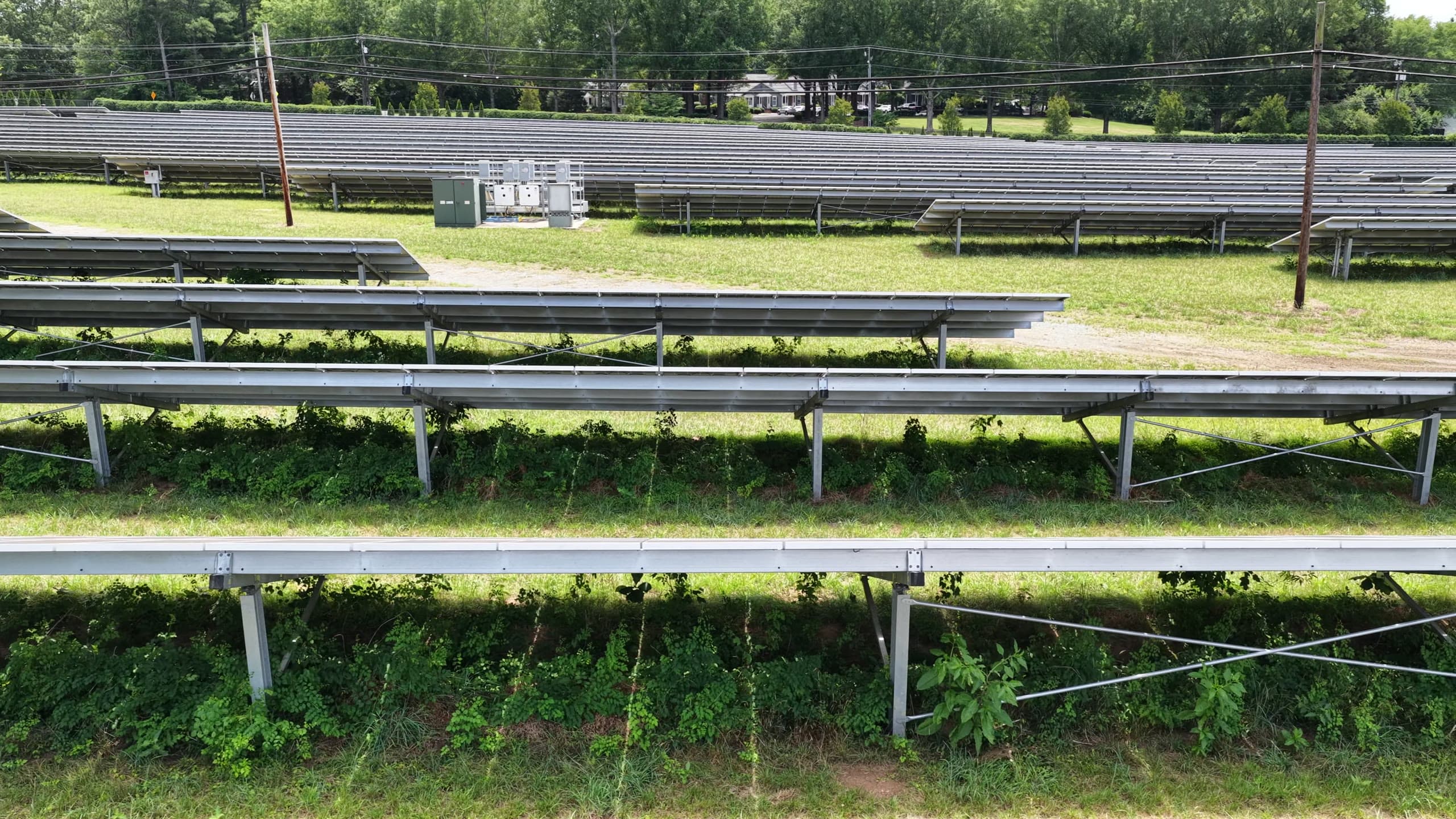
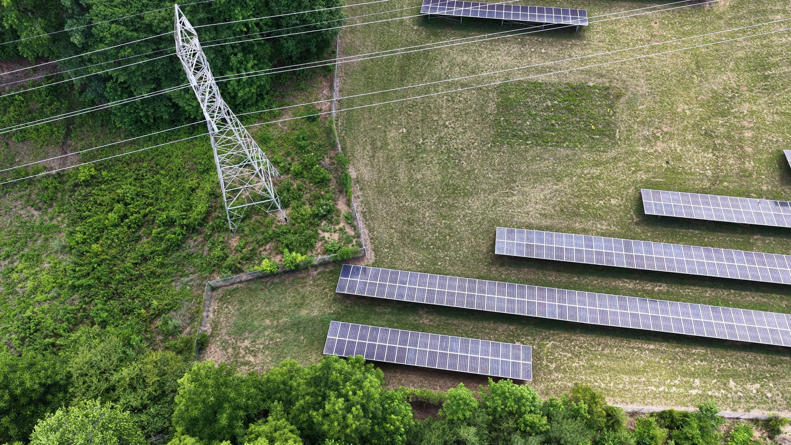
Vegetation encroachment
Fire-fuel and outage risk at the array edge.
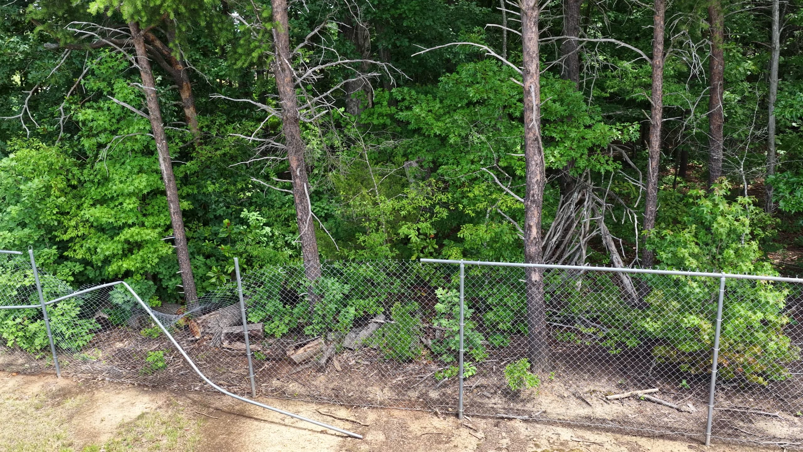
Perimeter breach
Security and liability exposure.
Exposures from real pilot assets — graded, dated, and photographed.
From a live underwriting review
- Increased confidence in the risk being priced
- Would materially adjust the premium on the evidence — 10–20% in this case
- Would bind coverage conditional on fixing the exposures within 60–90 days
— Lloyd's-market underwriter reviewing a live Phyll site survey
Upload or connect footage. Get map outputs, detections, and change reports within days.
Talk to Our Insurance TeamGovernment & Public Sector
Every complaint call is already too late.
Your teams manage thousands of assets on budgets that don't stretch to inspecting them. Phyll works from vehicles already on your streets and drones you already fly — so you know which assets need attention this quarter, with photo evidence behind every decision.
- Prioritise budgets by actual asset condition
- Cut repeat truck rolls with per-asset history
- Respond to storms with before/after change detection
- Show the public evidence, not estimates
Who this is for
Local authorities, transport agencies, emergency services
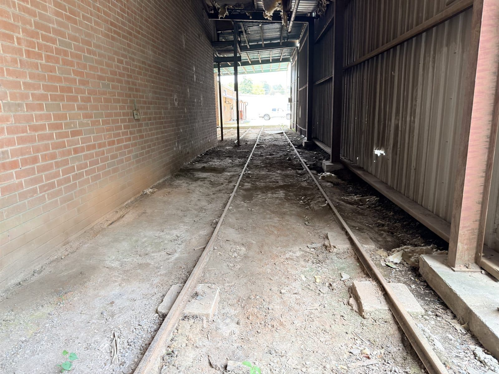
Active pilots with municipal authorities across the US and UK.
Upload or connect footage. Get map outputs, detections, and change reports within days.
Explore a PilotDefense & Remote Inspection
Failing infrastructure is a national security risk.
Degraded corridors, installations, and border assets aren't a maintenance line item — they're operational readiness. Phyll turns aerial and ground footage into persistent, auditable records of critical asset state, at a scale manual review can't match.
- Monitor corridors, borders, and installations continuously
- Detect change and intrusion across large areas
- Maintain auditable records of critical asset state
- Feed existing command and operations systems
Who this is for
Defense agencies, border security, remote inspection operators
Upload or connect footage. Get map outputs, detections, and change reports within days.
Discuss a Defense PilotFleets & Camera Networks
Turn passive footage into a new revenue stream.
Your vehicles record the road all day and overwrite it every 30 days. Phyll converts that footage into structured infrastructure intelligence that insurers, governments, and operators pay for — recurring revenue from data you already generate.
- Monetize footage you already capture — no new hardware
- PII handled at ingest — assets only, never people
- Recurring revenue on top of existing operations
- You keep ownership of your footage
Who this is for
Fleet operators, logistics companies, CCTV network operators, rideshare & delivery drivers
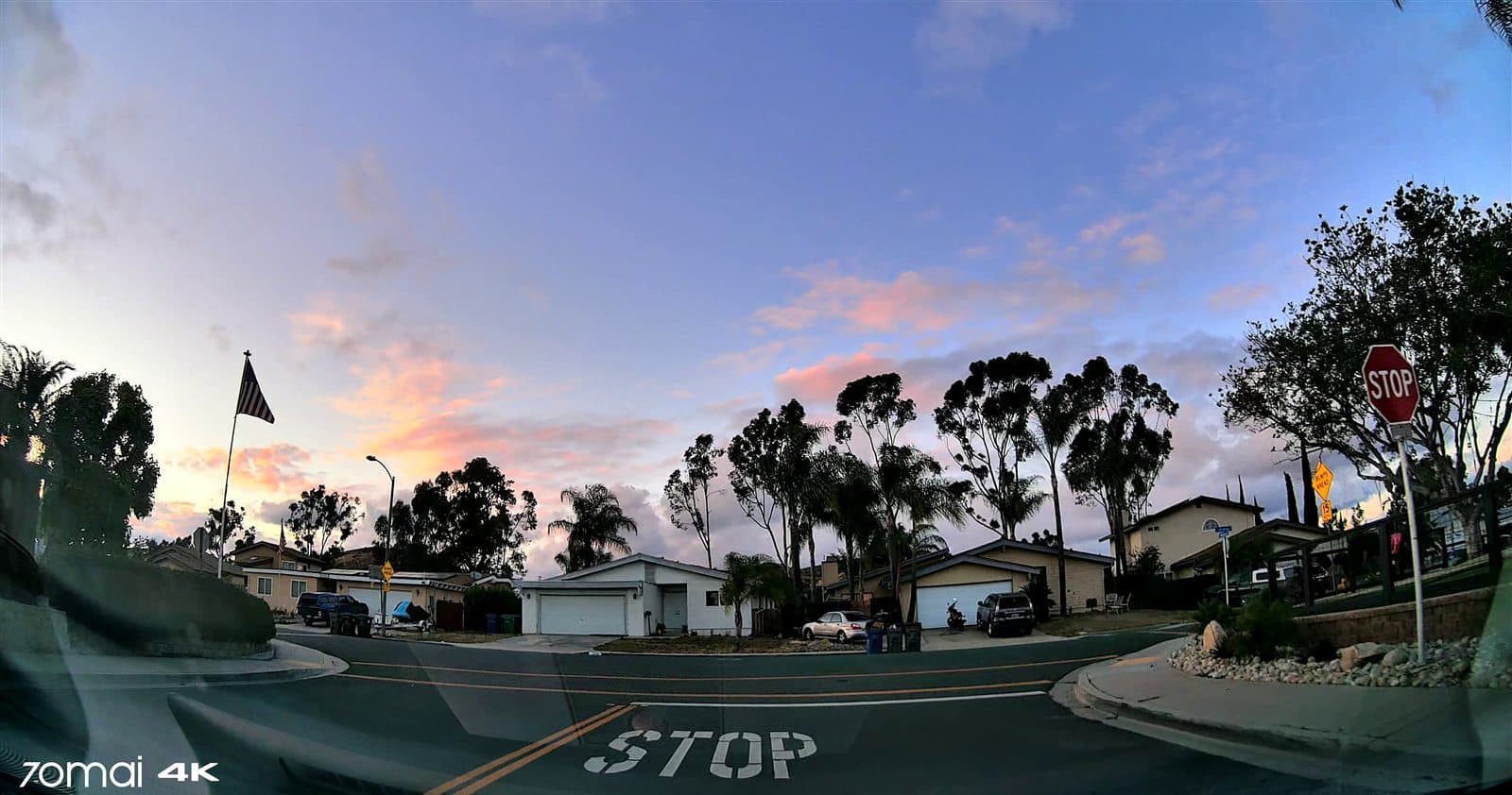
Dashcam and fleet footage partnerships in active development across US, UK, and NZ.
Upload or connect footage. Get map outputs, detections, and change reports within days.
Monetize Your Footage