PHYLL AI · INFRASTRUCTURE INTELLIGENCE
Infrastructure intelligence.Rebuilt.
Phyll turns the cameras the world already has — dashcams, drones, CCTV, phones — into a continuously updating map of infrastructure conditions. What changed, where, and when.
TEMPORAL INFRASTRUCTURE MEMORY
Multiple observations under a persistent ID · SS-04471 flagged for review · every pass deepens the record
Supported by




Why Now
The intelligence gap is costing the world hundreds of billions a year.
Every week, dashcams alone capture 30 billion+ miles of road footage. Almost all of it is overwritten in 30 days — while infrastructure owners still rely on manual inspections and stale maps.
Phyll turns that discarded footage into a continuously updating system of record for the built world.
Real product. Real data.
This is what Phyll actually shows you.
Fuel storage on an active North Carolina pilot site, graded Poor — diesel tanks against a timber barn, no containment. Flagged from a single drone pass.
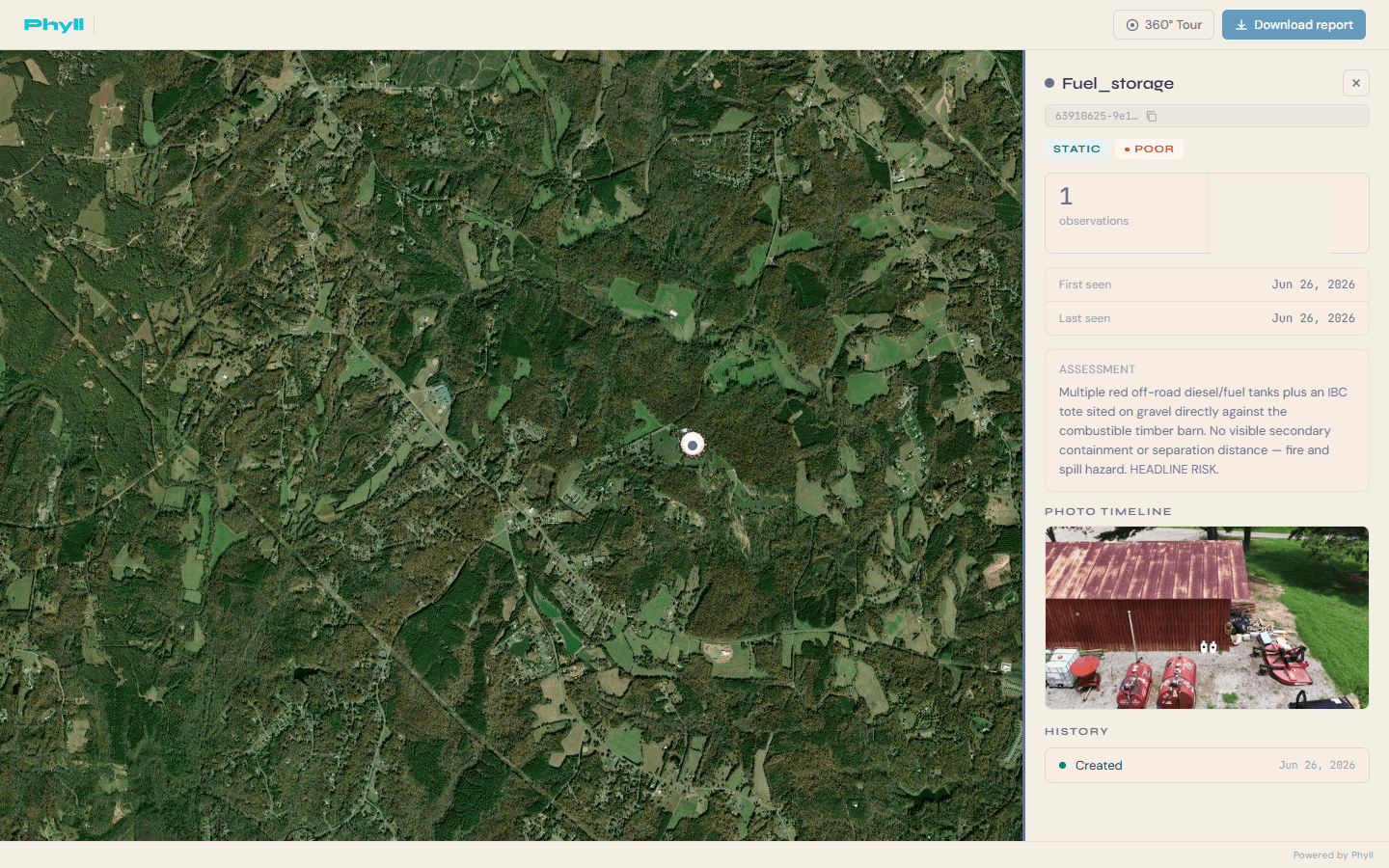
Live view from the Phyll platform — not a mockup.
Phyll in the wild
Infrastructure intelligence from real footage
Real assets from active North Carolina pilot sites — surfaced from drone footage and graded for condition.
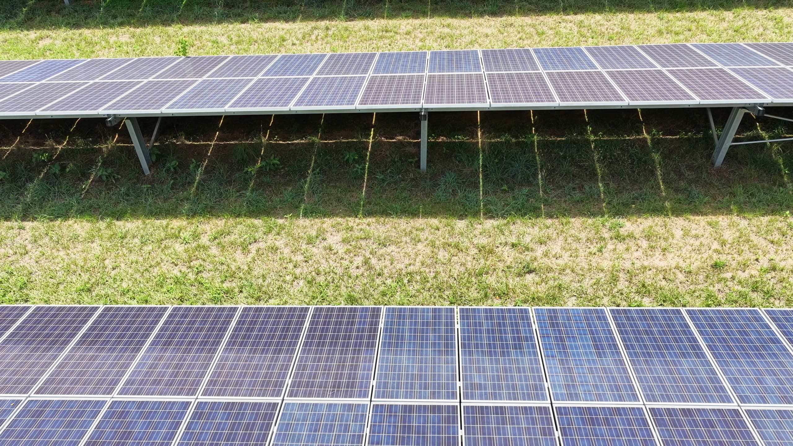
Solar array
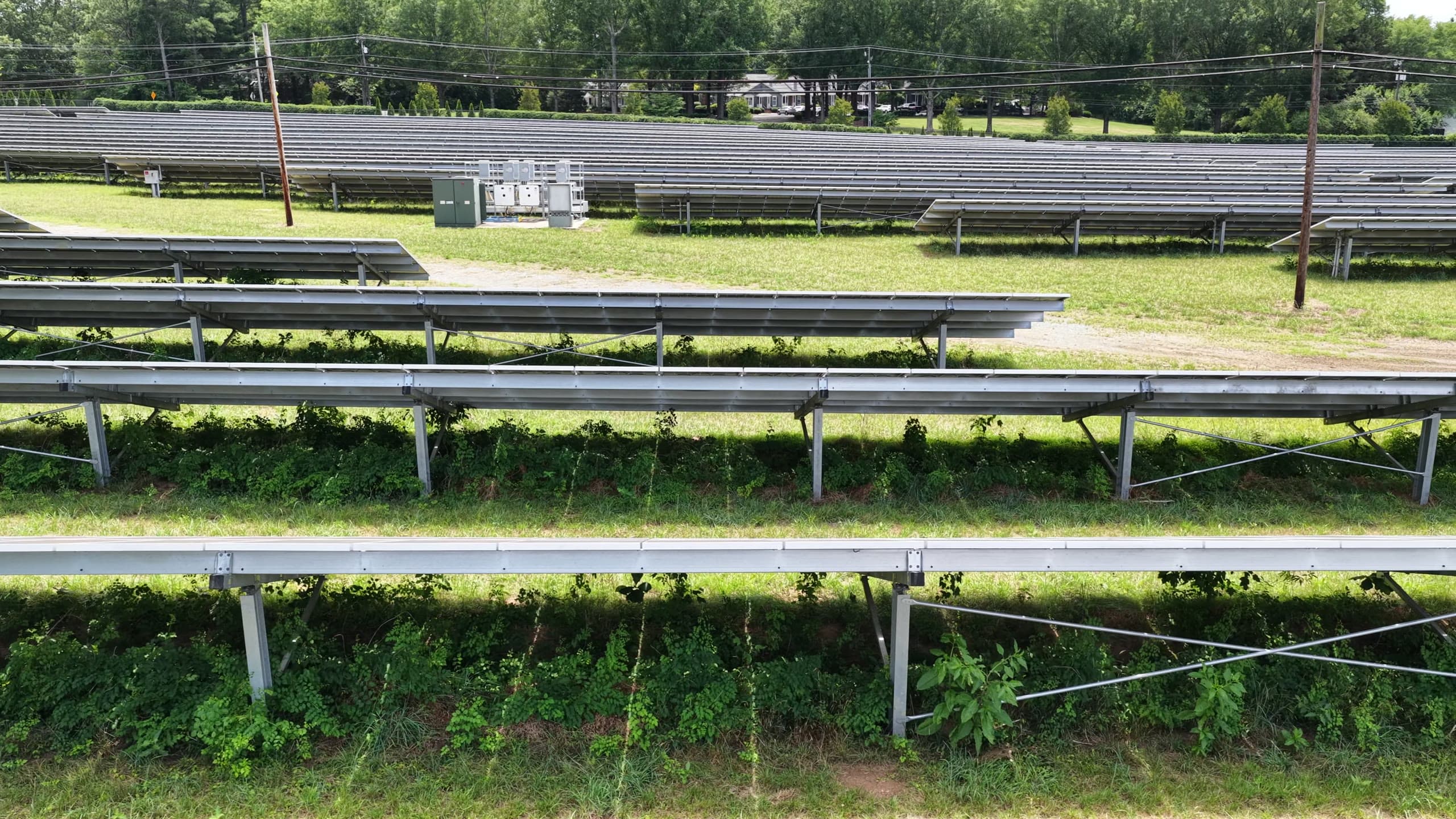
Vegetation encroachment
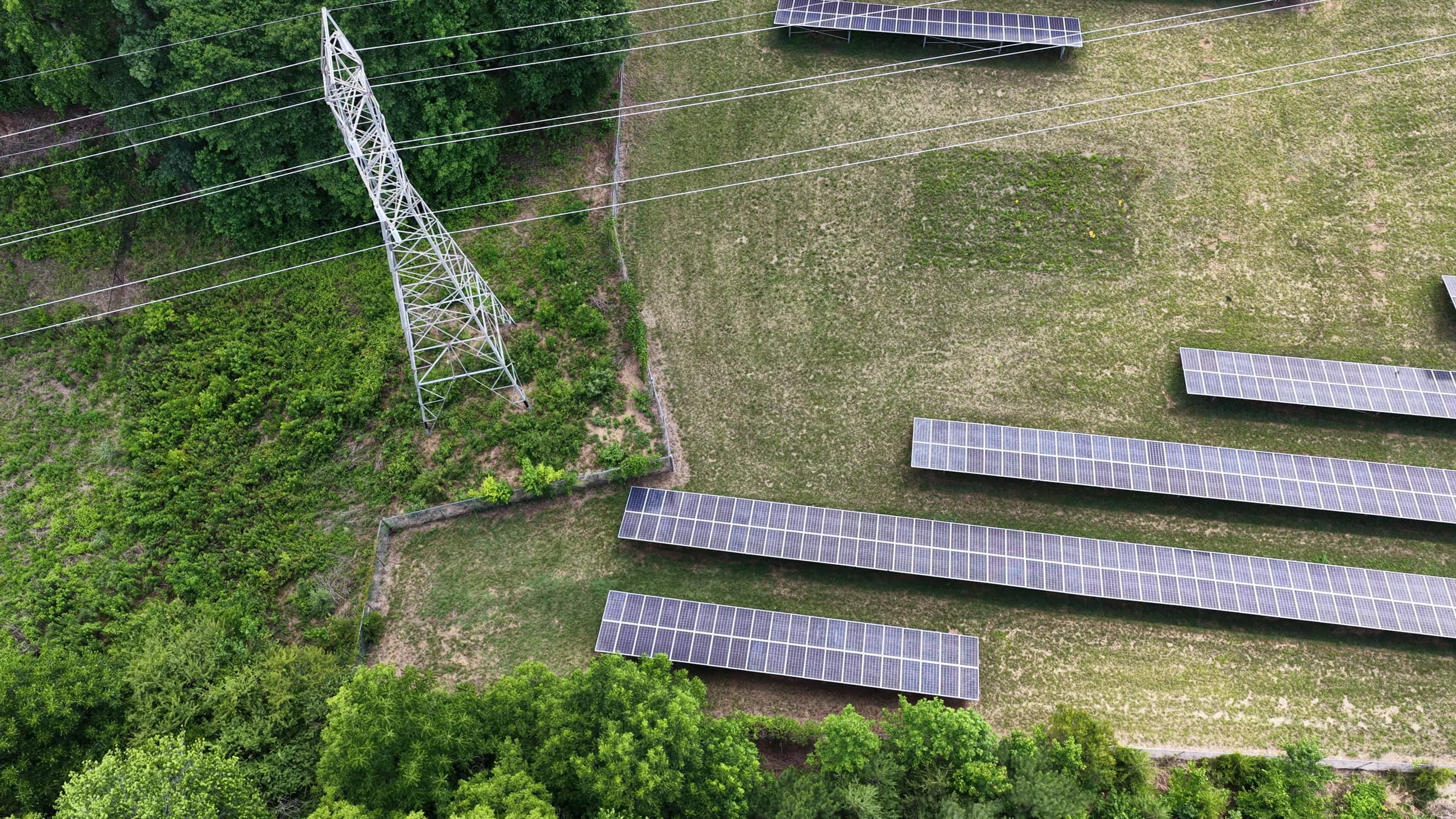
Transmission tower
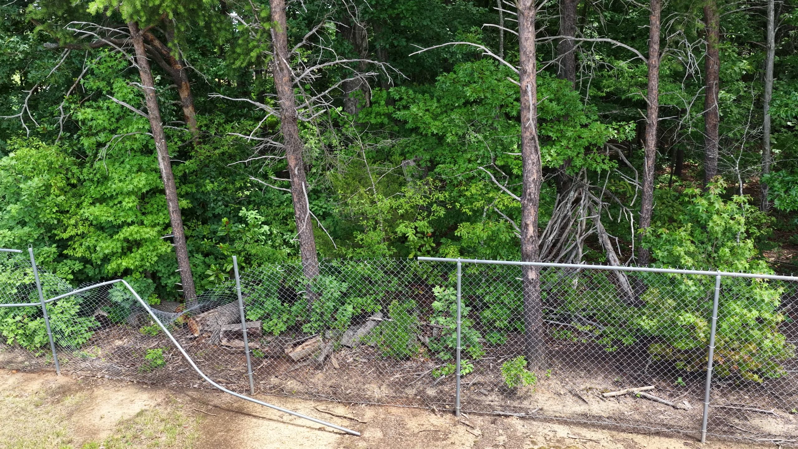
Perimeter fence breach
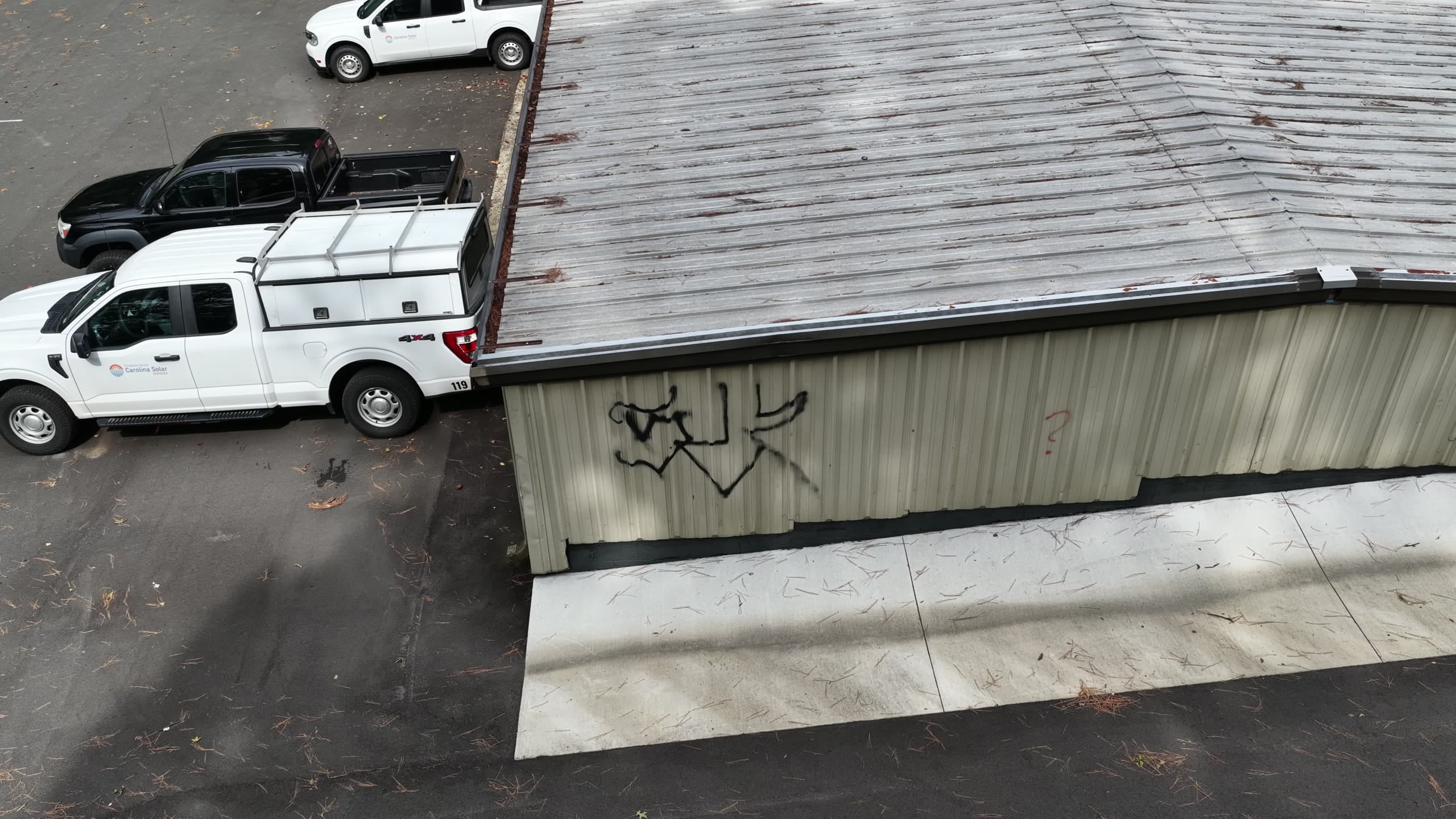
Graffiti / vandalism
Persistent asset IDs
The same asset. A record that compounds.
Every asset Phyll detects gets a persistent ID. Re-fly or re-drive the same site and new observations attach to the same record — condition trend and change history accumulate automatically.
Keyed to the asset, not the frame
Every future observation builds on the same ID.
Asset record
GoodStop sign
asset · 3a5d5884 · dashcam pilot corridor
Observation timeline
 May 3, 2026 · dashcam pass
 May 4, 2026 · dashcam pass
 May 15, 2026 · reverse approach
Three passes, two directions, one record — resolved to the same asset automatically.
What makes Phyll different
We don't just detect.
We remember.
Most systems capture a snapshot. Phyll builds a living memory of every asset, across every source.
No new hardware.
No new capex.
Phyll runs on the cameras you already have — dashcams, drones, CCTV, phones. Nothing changes in the field.
Every asset.
Across space and time.
Persistent asset IDs tie detections together across sources, locations, and dates automatically.
How it works
From images to infrastructure memory
Capture
Footage from dashcams, drones, CCTV, and phones. No new hardware.
Understand
AI detects assets, conditions, and changes in every frame.
Remember
Each asset gets a persistent ID and a living history.
Act
Intelligence flows into GIS, risk, and operations systems.
Coverage
Point Phyll anywhere.
The cameras are already there.
Phyll's camera partners already drive the roads you care about. Request coverage on any site, corridor, or portfolio — no deployment, no scheduling, no new hardware.
Road network reachable through Phyll's camera partners. Coverage density tracks population and insured value.
Who we serve
Built for the industries that build the world
Infrastructure & Utilities
Catch degradation before it becomes failure.
Learn more →Insurance
Underwrite on real-time exposure, not stale surveys.
Learn more →Government & Public Sector
Continuous visibility across public assets.
Learn more →Defense & Remote Inspection
Persistent geospatial intelligence for critical corridors.
Learn more →Fleets & Camera Networks
Turn passive footage into a revenue stream.
Learn more →Traction
Validated across industries and geographies
Pilots underway with a global utility, drone operator, municipal authorities, and Lloyd's syndicates.
The world's already being recorded.
Let's make it count.
Run a corridor, site, portfolio, or fleet pilot with Phyll.